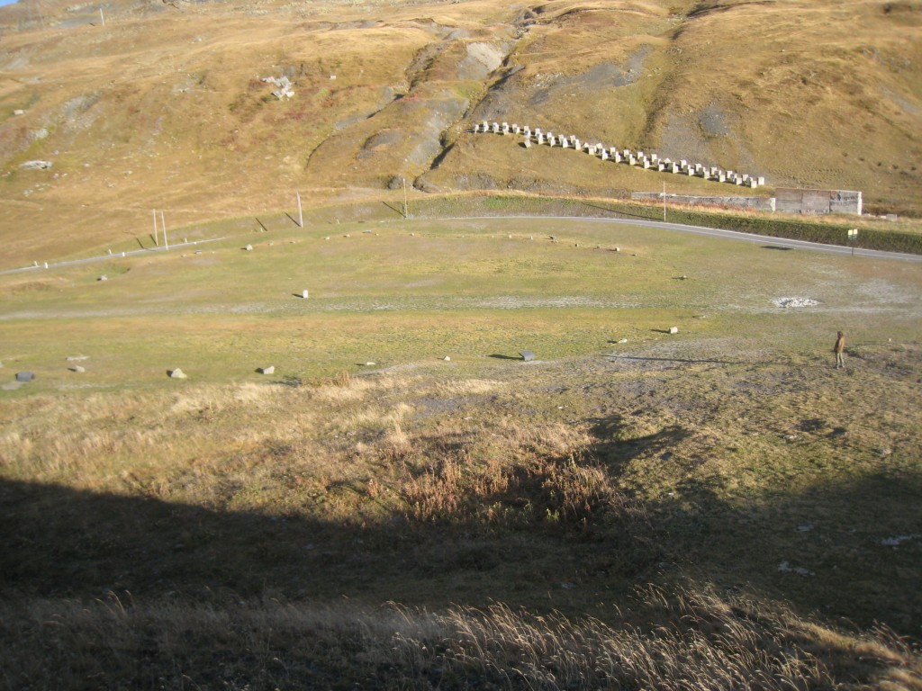
Stone piles near Montvalezan.
Pebbles removed from fields, meadows and gardens were usually piled between fields and woods. They progressively became heaps of stones. Now you can see them in the landscapes, we call them « murgers » in french.
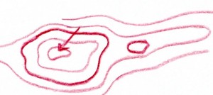
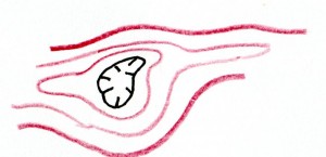
The largest ones can even be noticed on a topographic map (classical IGN map). As a matter of fact, they are symbolized by a closed quite oval line, and hatched external border.
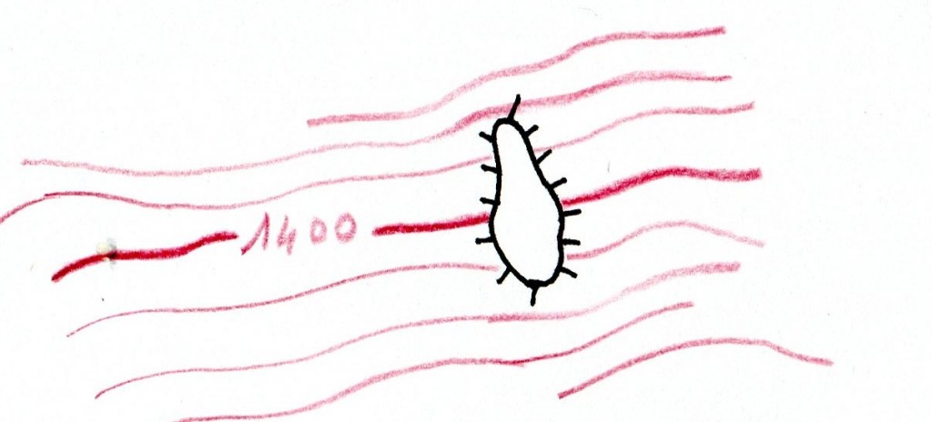
Don’t confuse it with a closed depression which is symbolized by a small arrow towards its center, or a hatched internal border!
Murgers are very common in Burgundy and in any wine-growing region, by the way.
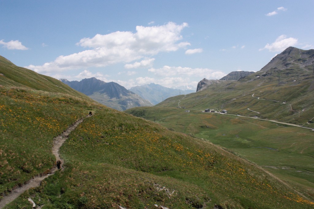
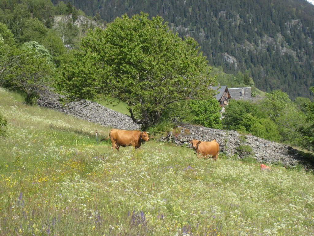
At Montvalezan, there are several ones near farming areas.
Near Hauteville, for example, at places known as Pichard, Les Ecombettes and Grastibert (GPS @45.6190821,6.8454942), where lucerne, oats and potatoes were grown, you can find at least five larger ones.
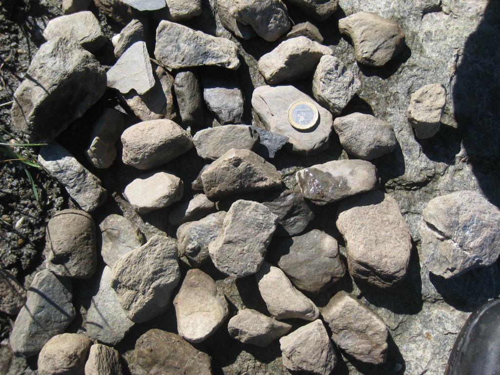
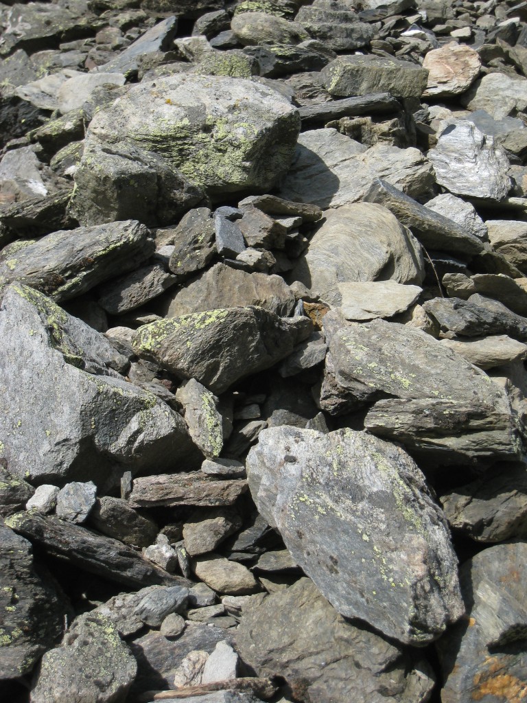
On the piles, you can easily locate the stones and pebbles which have not been moved for a long time: they are weathered, besides their surface is covered by lichens and mosses.
Some others can be moved or taken of, showing that there is still some circular economy. One stores, then reuses! For example to isolate undergound parts of a house from the ground, or to metal a path or a track.